
Syed Aoon Sherazi
Editor’s note: Syed Aoon Sherazi is a Pakistani journalist, international affairs analyst, and regular columnist for international publications. A frequent commentator on national and international TV channels, he specializes in Pakistan, China, the United States, the Middle East, Afghan affairs, geopolitics, and strategic affairs.
For years, Gwadar Port has been the subject of a carefully constructed information war. On social media, in political commentary and across some international narratives, the port is repeatedly described as an empty project, a failed investment or a facility that exists only on paper.
Repeat a claim often enough and it begins to look like a fact.
But ports are not built through hashtags, and their existence is not determined by social media narratives. Ships, cargo, berths, cranes, warehouses and documented port operations provide something far more valuable than propaganda: evidence.
And the evidence surrounding Gwadar tells a very different story.
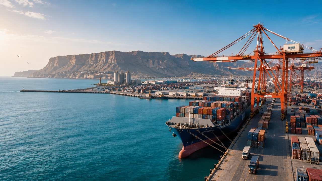
Gwadar is not an imaginary port waiting to be built. It is an operational deep-sea port on Pakistan’s Arabian Sea coast, equipped with three multipurpose berths, a 602-metre main quay wall and a maximum berth depth of 14.5 metres. The port’s approach channel stretches 4.7 kilometres, while its facilities include roll-on/roll-off infrastructure, container handling equipment, storage yards, refrigerated-container facilities and customs-clearance services. The port can accommodate vessels of up to 50,000 deadweight tonnes.
These figures matter because one of the most persistent narratives about Gwadar is that it is nothing more than an unfinished project.
The physical evidence says otherwise.
And the strongest evidence is not the concrete, cranes or photographs of the port. It is the movement of ships.
According to the Gwadar Port Authority’s current vessel record, 10 vessels had been berthed in its current operations record, with 194,304 metric tonnes of cargo handled, while seven additional vessels were listed at anchorage. The recorded cargo included steel billets, machinery, steel plates, fertiliser and general transshipment cargo.
Consider what that means.
A port described online as “empty” has ships arriving, cargo being unloaded and goods moving through its facilities.
In May 2026, Gwadar handled one of its notable recent maritime operations when the vessel MV Bi Jia Shan arrived carrying approximately 53,277 metric tonnes of prime steel billets, comprising around 20,669 pieces. The vessel arrived with an approximate draft of 12.8 metres, demonstrating the ability of Gwadar’s deep draft channel and port infrastructure to handle a large commercial vessel.
This is not a theoretical capability.
It is a documented port operation.
The same official record shows vessels arriving with 19,000 tonnes and 25,250 tonnes of steel billets, while other vessels carried machinery and steel shipments of 53,300 tonnes, 29,832 tonnes and 34,000 tonnes. Other cargo included steel plates, fertiliser and general transshipment shipments.
The facts therefore challenge one of the most frequently circulated claims about Gwadar: that no meaningful commercial activity takes place there.
There is another dimension to the story that is often deliberately left out.
Gwadar was never conceived simply as three berths beside the sea. The port forms part of a much larger economic and transport vision designed to connect maritime trade with road networks, industrial activity and regional markets.
That wider infrastructure is already visible.
The Eastbay Expressway connects Gwadar Port and the Free Zone with Pakistan’s national highway network, creating a dedicated transport route for port-related traffic. The road is an important piece of the logistics infrastructure required to move cargo beyond the port itself.
The Gwadar Free Zone is another major component of this development. Covering thousands of acres, it is intended to provide industrial and commercial space around the port, allowing businesses to establish manufacturing, warehousing, logistics and other port-related activities.
This is an important point when examining misinformation.
A port cannot be separated from the infrastructure around it. The real significance of Gwadar lies not only in what happens at the quay but in the economic network that develops around it.
The development of Gwadar has also included infrastructure far beyond the port’s immediate operations. The official CPEC record includes the Gwadar Port and Free Zone, Eastbay Expressway, New Gwadar International Airport, Pak-China Technical and Vocational Institute, Pak-China Friendship Hospital and desalination infrastructure among the projects associated with Gwadar’s development.
The picture that emerges is therefore considerably larger than a few cranes beside the sea.
Yet perhaps the most important part of the Gwadar story is its geography.
Gwadar sits on Pakistan’s southwestern coast, close to the approaches to the Persian Gulf and major international maritime routes. Its position gives it potential significance for trade connecting Pakistan with China, the Gulf, Central Asia and other regional markets.
Geography cannot be manufactured by propaganda.
A port located at a strategically important point on the Arabian Sea will continue to have significance regardless of what is written about it on social media.
This is why the attempt to portray Gwadar as merely a local Pakistani port misses the larger picture.
Gwadar is part of Pakistan’s effort to strengthen its maritime economy and expand the country’s role in regional trade and transit.
The port’s official mission describes it as a facility intended to handle general cargo, bulk cargo, containers and roll-on/roll-off vessels, while facilitating trade and industrial and economic development at local, national and regional levels.
Another misleading narrative claims that Gwadar exists only for China.
The reality is broader.
Gwadar’s location gives Pakistan an opportunity to serve multiple markets. The port’s development is tied to regional connectivity, transit trade and transshipment. Recent operations themselves demonstrate that cargo moving through Gwadar is not limited to a single category. Steel, machinery, fertiliser and general cargo have all appeared in recent port operations.
In April and May 2026 alone, Gwadar recorded a series of commercial developments. The port received vessels carrying machinery, fertiliser, steel and transshipment cargo. In May, the port also handled several transshipment operations, demonstrating the practical use of Gwadar as an alternative maritime route.
These developments deserve attention because they are measurable.
They are not political speeches.
They are not anonymous social-media posts.
They are vessel names, arrival dates, cargo manifests and tonnage figures.
That is how the debate over Gwadar should be conducted.
There is also a persistent narrative that the port has no modern facilities.
Again, the numbers tell another story.
Gwadar’s port facilities include rail-mounted portal cranes, rubber-tyred gantry cranes, mobile cranes, forklifts, mobile bagging plants and 400 refrigeration-container plug-in points. The port area covers approximately 640,000 square metres, with dedicated container stacking, storage and transit facilities.
These are the characteristics of a functioning commercial port.
The port also provides customs-clearance facilities, cargo-handling services, shipping-agent coordination and other services required for maritime operations.
The misinformation surrounding Gwadar often works through another technique: taking a genuine development story and removing its context.
A photograph showing an apparently quiet section of the port is presented as evidence that the entire facility is abandoned.
A vessel’s absence from a particular day is presented as proof that ships never arrive.
A dispute over a development issue is presented as proof that the entire project has failed.
A commercial agreement is portrayed as the transfer of sovereignty.
A strategic partnership is presented as foreign ownership of Pakistan.
This is how misinformation works.
It does not always require a completely invented fact.
Sometimes it only requires a real fact stripped of its context.
That is why the response must be evidence rather than emotion.
Gwadar’s documented vessel movements provide evidence.
Its infrastructure provides evidence.
Its cargo figures provide evidence.
Its Free Zone provides evidence.
Its road connectivity provides evidence.
Its port facilities provide evidence.
And its continuing investment activity provides evidence.
The Gwadar Port Authority itself continues to record commercial developments and investment activity. In July 2026, the authority announced a letter of intent with a Chinese company to boost investment in Gwadar, while meetings with shipping and investment stakeholders have continued throughout 2026.
This matters because development is not measured by a single photograph.
It is measured by what continues to happen over time.
Ships arrive.
Cargo moves.
Companies invest.
Infrastructure expands.
Trade routes develop.
These are the indicators that should determine the story.
Perhaps the most important point is that Gwadar’s story should not be judged by the standards of a mature port that has operated for generations.
It is part of a long term national maritime development strategy.
The idea behind Gwadar is not simply to move today’s cargo. It is to create additional maritime capacity for Pakistan and develop a new economic corridor around a strategically located deep-sea port.
Pakistan already has major maritime facilities at Karachi and Port Qasim. Gwadar adds another deep-sea port to the country’s maritime infrastructure and creates the possibility of expanding Pakistan’s trade capacity along its western coastline. The Gwadar Port Authority itself describes the port as complementing Karachi Port and Port Qasim while providing additional capacity for future national demand.
That long-term dimension is frequently absent from online discussions.
A major port is not simply a building.
It is an ecosystem.
It requires shipping routes, cargo, logistics companies, warehouses, industrial activity, road connections, customs infrastructure and international trade relationships.
Gwadar is being developed with precisely that wider ecosystem in mind.
The question, therefore, is not whether Gwadar exists.
The evidence answers that question conclusively.
It exists.
It operates.
Ships berth there.
Cargo is handled there.
International vessels use its facilities.
The port has modern cargo-handling infrastructure.
And development around it continues.
The real challenge for Pakistan is to communicate these facts more effectively.
For too long, the information space around Gwadar has been dominated by competing narratives rather than documented evidence. Supporters sometimes respond with broad claims, while opponents often circulate simplified or misleading descriptions.
Pakistan does not need either approach.
It needs facts.
And facts are powerful precisely because they do not require exaggeration.
A 53,277-tonne cargo operation does not need to be described as a revolution.
A port capable of handling 50,000-DWT vessels does not need to be presented as the world’s largest port.
A new trade route does not need to be called a miracle.
The facts are strong enough on their own.
The same principle applies to Gwadar’s strategic significance.
Pakistan’s western coastline has historically been underutilised compared with the country’s eastern maritime infrastructure. Gwadar creates an additional gateway to the sea and gives Pakistan a platform from which to expand maritime trade, transit and regional connectivity.
Its location near the Persian Gulf and international shipping routes adds another dimension to its importance.
For China, Central Asia, Pakistan and other regional economies, the wider significance of Gwadar lies in connectivity.
For Balochistan, the port represents the possibility of linking the province more directly with national and international economic activity.
For Pakistan, it represents another component of a broader maritime future.
And for the region, it offers another route through which goods can move.
This is why the narrative surrounding Gwadar matters.
When misinformation presents a functioning port as an empty project, it does more than distort a photograph. It distorts public understanding of Pakistan’s maritime infrastructure, economic geography and regional connectivity.
The answer should not be anger.
The answer should be documentation.
Look at the ships.
Look at the cargo.
Look at the berths.
Look at the cranes.
Look at the roads.
Look at the Free Zone.
Look at the investment activity.
Look at the infrastructure.
Then ask whether the description of Gwadar as an “empty port” still makes sense.
The facts speak for themselves.
Gwadar is not a story written on social media.
It is a physical port on the Arabian Sea, with ships arriving at its berths, cargo moving through its facilities and infrastructure expanding around it.
Its story is still being written.
But one thing is already beyond dispute:
Gwadar is real, operational and strategically significant and no amount of misinformation can change those facts.